Postcard Archive
Aerials

|

|
|
Wolfeboro Historical Society Digital Archive Postcard Archive Aerials |
|
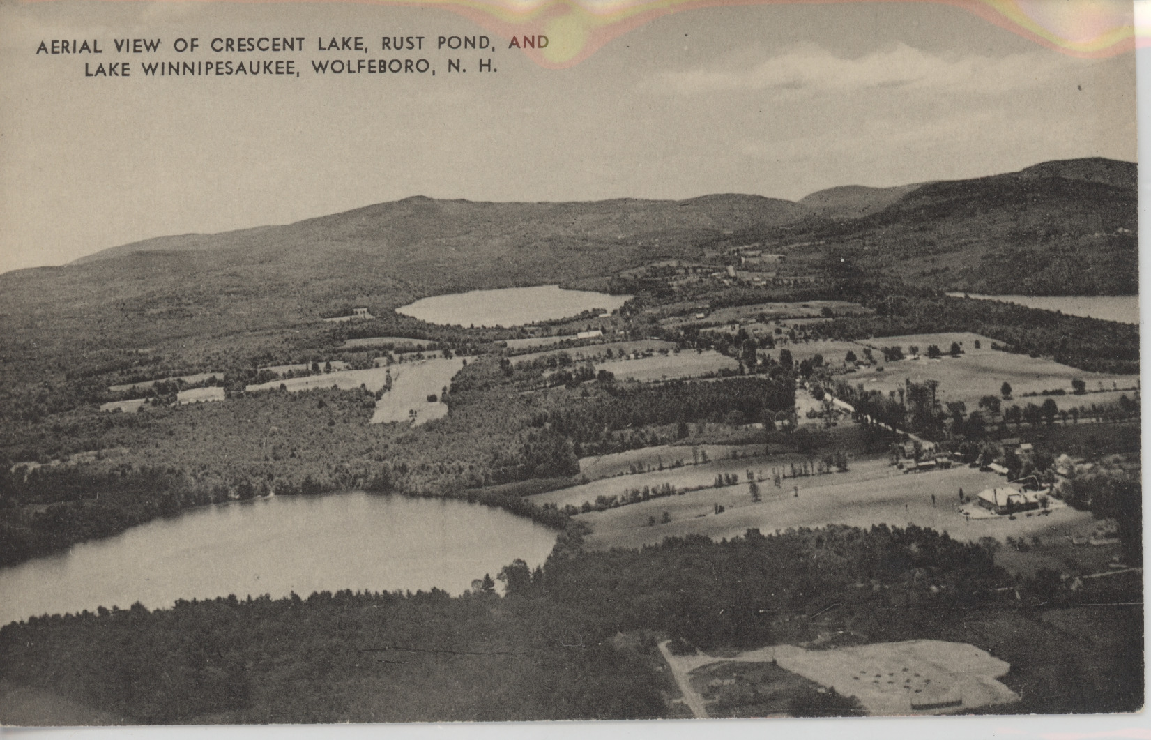
This aerial view was taken by Eleanor Horn, wife of Ralph M. Horn, who later began the airport on Wolfeboro Neck. The photo was taken c. 1940, above the area where Dunkin Donuts is today. The closest water is the south end of Crescent Lake, centered is Rust Pond with Copple Crown Mountain in the background. The narrow bay on the right is Lake Winnipesaukee near Springfield Point in South Wolfeboro.
(16/17)